| [ Login ]/[ Register ] |
 Search ::
  My Data Basket ::
  Favorite/My Favorite :: Recent Changes :: :: Login Save in Data Basket ]
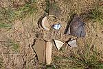
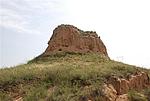
| Caption:ÓźŌņ¹ÅĮŗ“å·é»šĢØ Photo Contributor:ÉĀĪ÷Ź”ĪÄĪļ¾Ö [Open in New Window] |
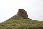
| Caption:ÓźŌņ¹ÅĮŗ“å·é»šĢØ Photo Contributor:ÉĀĪ÷Ź”ĪÄĪļ¾Ö [Open in New Window] |
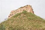
| Caption:ÓźŌņ¹ÅĮŗ“å·é»šĢØ Photo Contributor:ÉĀĪ÷Ź”ĪÄĪļ¾Ö [Open in New Window] |
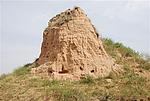
| Caption:ÓźŌņ¹ÅĮŗ“å·é»šĢØ Photo Contributor:ÉĀĪ÷Ź”ĪÄĪļ¾Ö [Open in New Window] |
| Caption:ÓźŌņ¹ÅĮŗ“å·é»šĢØ Photo Contributor:ÉĀĪ÷Ź”ĪÄĪļ¾Ö [Open in New Window] |